 vesseltracker.com
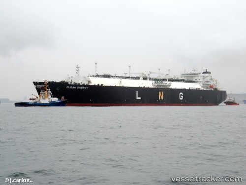
Vessel Clean Energy IMO: 9323687, MMSI: 538002742 Lng Tanker
UTC, 45.47167, -13.56667, course: -1, speed: 7
UTC, 45.63500, -13.59500, course: -1, speed: 13
2026-01-31 09:43:30 UTC, 45.76667, -12.81667, course: -1, speed: 14
Live AIS position:
UTC. 68 nm S of Casselton),
updated 2026-01-31 09:43:30 UTC.
Find the position of the vessel Clean Energy on the map. The latter are known coordinates and path.
marine traffic ship tracker show on live map
The current position of vessel Clean Energy is 45.76667 lat / -12.81667 lng. Updated: 2026-01-31 09:43:30 UTCDetails:
Last coordinates of the vessel:
UTC, 45.27949, -13.32373, course: 311, speed: 8.2UTC, 45.47167, -13.56667, course: -1, speed: 7
UTC, 45.63500, -13.59500, course: -1, speed: 13
2026-01-31 09:43:30 UTC, 45.76667, -12.81667, course: -1, speed: 14