 vesseltracker.com
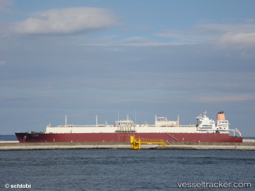
Vessel Al Gattara IMO: 9337705, MMSI: 538002917 Lng Tanker
UTC, 39.46333, 18.32333, course: -1, speed: 13
UTC, 40.00776, 18.75265, course: 15, speed: 14.2
2026-02-22 00:14:07 UTC, 40.42155, 18.82863, course: 349, speed: 14.4
Live AIS position:
UTC. 13 nm NE of Serrano),
updated 2026-02-22 00:14:07 UTC.
Find the position of the vessel Al Gattara on the map. The latter are known coordinates and path.
marine traffic ship tracker show on live map
The current position of vessel Al Gattara is 40.42155 lat / 18.82863 lng. Updated: 2026-02-22 00:14:07 UTCCurrently sailing under the flag of Marshall Is
Al Gattara built in 2007 year
Deadweight:
106898 tDetails:
Last coordinates of the vessel:
UTC, 39.33500, 18.22333, course: -1, speed: 2UTC, 39.46333, 18.32333, course: -1, speed: 13
UTC, 40.00776, 18.75265, course: 15, speed: 14.2
2026-02-22 00:14:07 UTC, 40.42155, 18.82863, course: 349, speed: 14.4