 vesseltracker.com
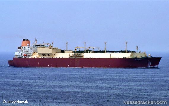
Vessel Mesaimeer IMO: 9337729, MMSI: 538003360 Lng Tanker
UTC, 34.58145, 135.07487, course: 130, speed: 9.7
UTC, 34.22872, 134.96133, course: 189, speed: 8.7
2026-02-19 05:41:40 UTC, 33.69171, 134.96645, course: 178, speed: 16.9
Live AIS position:
UTC. 15 nm SW of Gobo Wakayama),
updated 2026-02-19 05:41:40 UTC.
Find the position of the vessel Mesaimeer on the map. The latter are known coordinates and path.
marine traffic ship tracker show on live map
The current position of vessel Mesaimeer is 33.69171 lat / 134.96645 lng. Updated: 2026-02-19 05:41:40 UTCCurrently sailing under the flag of Marshall Is
Mesaimeer built in 2009 year
Deadweight:
107160 tDetails:
Last coordinates of the vessel:
UTC, 34.57362, 134.71033, course: 145, speed: 14UTC, 34.58145, 135.07487, course: 130, speed: 9.7
UTC, 34.22872, 134.96133, course: 189, speed: 8.7
2026-02-19 05:41:40 UTC, 33.69171, 134.96645, course: 178, speed: 16.9