 vesseltracker.com
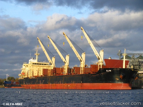
Vessel NORAH IMO: 9460289, MMSI: 538004037 Bulk Carrier
Live AIS position:
UTC. 42 nm NW of Vedado),
updated 2025-06-14 16:06:58 UTC.
Find the position of the vessel NORAH on the map. The latter are known coordinates and path.
marine traffic ship tracker show on live map
The current position of vessel NORAH is 23.75627 lat / -83.73737 lng. Updated: 2025-06-14 16:06:58 UTCCurrently sailing under the flag of Marshall Is
NORAH built in 2010 year
Deadweight:
33693 tDetails:
Last coordinates of the vessel:
2025-06-14 16:06:58 UTC, 23.75627, -83.73737, course: 103, speed: 1.3