 vesseltracker.com
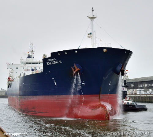
Vessel Marjorie K IMO: 9661235, MMSI: 538004992 Chemical Oil Products Tanker
UTC, -34.66984, -55.92155, course: 10, speed: 70.2
UTC, -34.66984, -55.92155, course: 10, speed: 70.2
UTC, 79.11998, -68.56384, course: 329, speed: 7.1
UTC, 79.11998, -68.56384, course: 329, speed: 7.1
2026-02-04 15:32:08 UTC, 79.11998, -68.56384, course: 329, speed: 7.1
Live AIS position:
UTC. 104 nm S of Suursaq),
updated 2026-02-04 15:32:08 UTC.
Find the position of the vessel Marjorie K on the map. The latter are known coordinates and path.
marine traffic ship tracker show on live map
The current position of vessel Marjorie K is 79.11998 lat / -68.56384 lng. Updated: 2026-02-04 15:32:08 UTCCurrently sailing under the flag of Marshall Is
Marjorie K built in 2013 year
Deadweight:
49995 tDetails:
Last coordinates of the vessel:
UTC, -34.66984, -55.92155, course: 10, speed: 70.2UTC, -34.66984, -55.92155, course: 10, speed: 70.2
UTC, -34.66984, -55.92155, course: 10, speed: 70.2
UTC, 79.11998, -68.56384, course: 329, speed: 7.1
UTC, 79.11998, -68.56384, course: 329, speed: 7.1
2026-02-04 15:32:08 UTC, 79.11998, -68.56384, course: 329, speed: 7.1