 vesseltracker.com
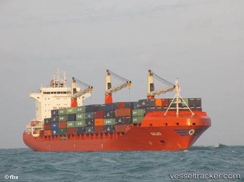
Vessel Balao IMO: 9603594, MMSI: 538005057 Container Ship
UTC, 15.62333, 53.60333, course: -1, speed: 11
UTC, 15.25833, 53.42333, course: -1, speed: 12
2026-02-03 09:53:13 UTC, 14.88333, 53.23667, course: -1, speed: 11
Live AIS position:
UTC. 96 nm NE of Gross Koris),
updated 2026-02-03 09:53:13 UTC.
Find the position of the vessel Balao on the map. The latter are known coordinates and path.
marine traffic ship tracker show on live map
The current position of vessel Balao is 14.88333 lat / 53.23667 lng. Updated: 2026-02-03 09:53:13 UTCDetails:
Last coordinates of the vessel:
UTC, 15.94333, 53.76167, course: -1, speed: 12UTC, 15.62333, 53.60333, course: -1, speed: 11
UTC, 15.25833, 53.42333, course: -1, speed: 12
2026-02-03 09:53:13 UTC, 14.88333, 53.23667, course: -1, speed: 11