 vesseltracker.com
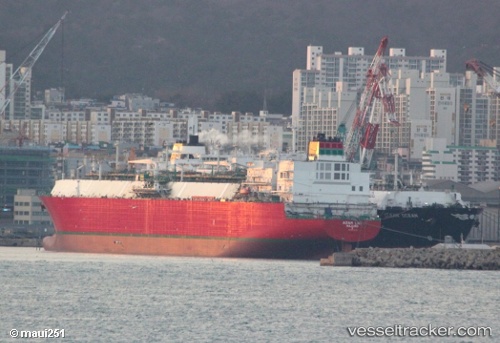
Vessel Adam Lng IMO: 9501186, MMSI: 538005753 Lng Tanker
UTC, 9.89333, 81.94667, course: -1, speed: 19
UTC, 10.62333, 81.73167, course: -1, speed: 19
2026-02-26 08:40:38 UTC, 10.71167, 81.70500, course: -1, speed: 16
Live AIS position:
UTC. 106 nm E of Negappattinam),
updated 2026-02-26 08:40:38 UTC.
Find the position of the vessel Adam Lng on the map. The latter are known coordinates and path.
marine traffic ship tracker show on live map
The current position of vessel Adam Lng is 10.71167 lat / 81.70500 lng. Updated: 2026-02-26 08:40:38 UTCCurrently sailing under the flag of Marshall Is
Details:
Last coordinates of the vessel:
UTC, 9.07833, 82.22167, course: -1, speed: 18UTC, 9.89333, 81.94667, course: -1, speed: 19
UTC, 10.62333, 81.73167, course: -1, speed: 19
2026-02-26 08:40:38 UTC, 10.71167, 81.70500, course: -1, speed: 16