 vesseltracker.com
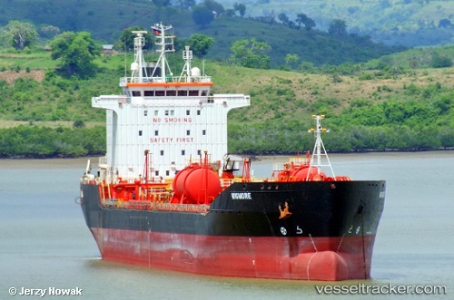
Vessel Duke IMO: 9262259, MMSI: 538005925 Chemical Oil Products Tanker
UTC, 4.53055, 6.81488, course: -1, speed: 0
UTC, 4.53055, 6.81488, course: -1, speed: 0
2026-03-02 13:51:57 UTC, 4.53055, 6.81488, course: -1, speed: 0
Live Vessel Duke Analytics (details, animations, etc.)
Live AIS position: UTC. 18 nm SW of Port Harcourt), updated 2026-03-02 13:51:57 UTC.Find the position of the vessel Duke on the map. The latter are known coordinates and path.
marine traffic ship tracker show on live map
The current position of vessel Duke is 4.53055 lat / 6.81488 lng. Updated: 2026-03-02 13:51:57 UTCDetails:
Last coordinates of the vessel:
UTC, 4.53050, 6.81482, course: 333, speed: 0UTC, 4.53055, 6.81488, course: -1, speed: 0
UTC, 4.53055, 6.81488, course: -1, speed: 0
2026-03-02 13:51:57 UTC, 4.53055, 6.81488, course: -1, speed: 0