 vesseltracker.com
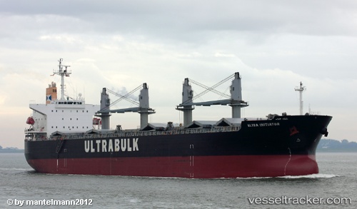
Vessel Unity IMO: 9370044, MMSI: 538006296 Ore Carrier
UTC, 45.30848, 36.45293, course: 232, speed: 10.4
UTC, 45.30752, 36.45331, course: 232, speed: 13.7
2026-02-09 23:47:59 UTC, 45.07797, 36.58775, course: 232, speed: 20.3
Live AIS position:
UTC. Near Taman'),
updated 2026-02-09 23:47:59 UTC.
Find the position of the vessel Unity on the map. The latter are known coordinates and path.
marine traffic ship tracker show on live map
The current position of vessel Unity is 45.07797 lat / 36.58775 lng. Updated: 2026-02-09 23:47:59 UTCDetails:
Last coordinates of the vessel:
UTC, 45.24103, 36.52993, course: 232, speed: 13.7UTC, 45.30848, 36.45293, course: 232, speed: 10.4
UTC, 45.30752, 36.45331, course: 232, speed: 13.7
2026-02-09 23:47:59 UTC, 45.07797, 36.58775, course: 232, speed: 20.3