 vesseltracker.com
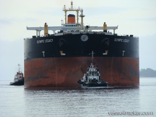
Vessel Belema Sweet IMO: 9088689, MMSI: 538006511 Crude Oil Tanker
UTC, 21.67315, 64.11289, course: 141, speed: 10.4
UTC, 21.67315, 64.11289, course: 141, speed: 10.4
2026-02-27 17:36:19 UTC, 21.51581, 64.25066, course: 137, speed: 10.3
Live AIS position:
UTC. 236 nm SW of Keti Bandar),
updated 2026-02-27 17:36:19 UTC.
Find the position of the vessel Belema Sweet on the map. The latter are known coordinates and path.
marine traffic ship tracker show on live map
The current position of vessel Belema Sweet is 21.51581 lat / 64.25066 lng. Updated: 2026-02-27 17:36:19 UTCCurrently sailing under the flag of Marshall Is
Belema Sweet built in 1996 year
Deadweight:
302789 tDetails:
Last coordinates of the vessel:
UTC, 22.05325, 63.77973, course: 141, speed: 9.4UTC, 21.67315, 64.11289, course: 141, speed: 10.4
UTC, 21.67315, 64.11289, course: 141, speed: 10.4
2026-02-27 17:36:19 UTC, 21.51581, 64.25066, course: 137, speed: 10.3