 vesseltracker.com
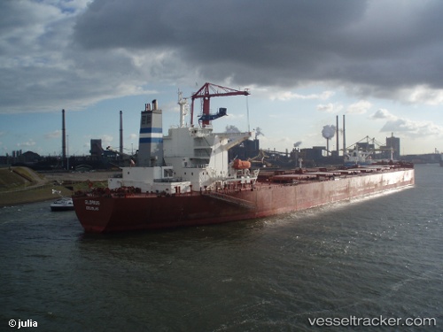
Vessel GLORIUSHIP IMO: 9266944, MMSI: 538006629 Bulk Carrier
UTC, -10.50500, 58.83500, course: -1, speed: 7
UTC, -10.17500, 58.88333, course: -1, speed: 7
2026-02-01 18:23:13 UTC, -9.85678, 58.93774, course: 6, speed: 7.8
Live AIS position:
UTC. 364 nm SE of Frégate),
updated 2026-02-01 18:23:13 UTC.
Find the position of the vessel GLORIUSHIP on the map. The latter are known coordinates and path.
marine traffic ship tracker show on live map
The current position of vessel GLORIUSHIP is -9.85678 lat / 58.93774 lng. Updated: 2026-02-01 18:23:13 UTCCurrently sailing under the flag of Marshall Islands
GLORIUSHIP built in 2004 year
Deadweight:
171320 tDetails:
Last coordinates of the vessel:
UTC, -10.62333, 58.81667, course: -1, speed: 7UTC, -10.50500, 58.83500, course: -1, speed: 7
UTC, -10.17500, 58.88333, course: -1, speed: 7
2026-02-01 18:23:13 UTC, -9.85678, 58.93774, course: 6, speed: 7.8