 vesseltracker.com
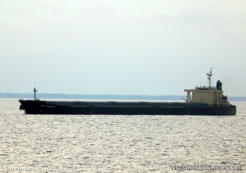
Vessel Gns Harmony IMO: 9233519, MMSI: 538006710 Ore Carrier
UTC, -1.83616, 117.11747, course: 55, speed: 11.3
UTC, -1.48178, 117.63251, course: 60, speed: 12
2026-02-06 06:19:23 UTC, -1.10147, 117.95779, course: 30, speed: 12.3
Live AIS position:
UTC. 45 nm E of Senipah Oil Terminal),
updated 2026-02-06 06:19:23 UTC.
Find the position of the vessel Gns Harmony on the map. The latter are known coordinates and path.
marine traffic ship tracker show on live map
The current position of vessel Gns Harmony is -1.10147 lat / 117.95779 lng. Updated: 2026-02-06 06:19:23 UTCDetails:
Last coordinates of the vessel:
UTC, -1.99190, 116.94594, course: 27, speed: 11UTC, -1.83616, 117.11747, course: 55, speed: 11.3
UTC, -1.48178, 117.63251, course: 60, speed: 12
2026-02-06 06:19:23 UTC, -1.10147, 117.95779, course: 30, speed: 12.3