 vesseltracker.com
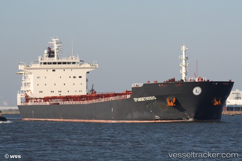
Vessel Wooyang Banders IMO: 9286645, MMSI: 538006714 Bulk Carrier
UTC, 22.48117, 113.86922, course: 162, speed: 0
UTC, 22.48117, 113.86918, course: 162, speed: 0
2026-02-25 15:53:16 UTC, 22.48110, 113.86918, course: 162, speed: 0.1
Live AIS position:
UTC. Near Chiwan Pt),
updated 2026-02-25 15:53:16 UTC.
Find the position of the vessel Wooyang Banders on the map. The latter are known coordinates and path.
marine traffic ship tracker show on live map
The current position of vessel Wooyang Banders is 22.48110 lat / 113.86918 lng. Updated: 2026-02-25 15:53:16 UTCDetails:
Last coordinates of the vessel:
UTC, 22.48115, 113.86918, course: 162, speed: 0UTC, 22.48117, 113.86922, course: 162, speed: 0
UTC, 22.48117, 113.86918, course: 162, speed: 0
2026-02-25 15:53:16 UTC, 22.48110, 113.86918, course: 162, speed: 0.1