 vesseltracker.com
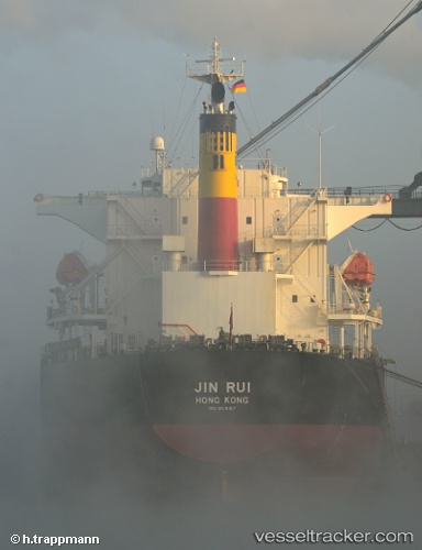
Vessel Storm Harbour IMO: 9519157, MMSI: 538007198 Bulk Carrier
UTC, 8.82089, -79.49408, course: 67, speed: 0.2
UTC, 8.81921, -79.49343, course: 25, speed: 0.2
2026-02-17 11:23:06 UTC, 8.81914, -79.49318, course: 19, speed: 0
Live AIS position:
UTC. Near Taboguilla),
updated 2026-02-17 11:23:06 UTC.
Find the position of the vessel Storm Harbour on the map. The latter are known coordinates and path.
marine traffic ship tracker show on live map
The current position of vessel Storm Harbour is 8.81914 lat / -79.49318 lng. Updated: 2026-02-17 11:23:06 UTCDetails:
Last coordinates of the vessel:
UTC, 8.81922, -79.49166, course: 352, speed: 0UTC, 8.82089, -79.49408, course: 67, speed: 0.2
UTC, 8.81921, -79.49343, course: 25, speed: 0.2
2026-02-17 11:23:06 UTC, 8.81914, -79.49318, course: 19, speed: 0