 vesseltracker.com
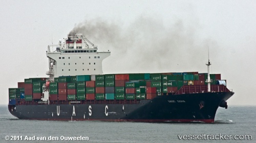
Vessel Eleni T IMO: 9397585, MMSI: 538007684 Container Ship
UTC, 21.62562, 63.25288, course: 234, speed: 10.9
UTC, 21.41701, 62.93906, course: 239, speed: 10.8
2026-02-25 13:39:09 UTC, 21.22667, 62.62500, course: -1, speed: 10
Live AIS position:
UTC. 190 nm SE of SUR),
updated 2026-02-25 13:39:09 UTC.
Find the position of the vessel Eleni T on the map. The latter are known coordinates and path.
marine traffic ship tracker show on live map
The current position of vessel Eleni T is 21.22667 lat / 62.62500 lng. Updated: 2026-02-25 13:39:09 UTCCurrently sailing under the flag of Marshall Is
Eleni T built in 2009 year
Deadweight:
50700 tDetails:
Last coordinates of the vessel:
UTC, 21.84522, 63.60354, course: -1, speed: 11.6UTC, 21.62562, 63.25288, course: 234, speed: 10.9
UTC, 21.41701, 62.93906, course: 239, speed: 10.8
2026-02-25 13:39:09 UTC, 21.22667, 62.62500, course: -1, speed: 10