 vesseltracker.com
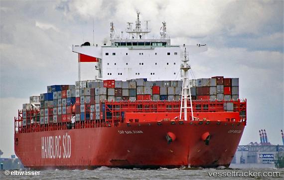
Vessel Cap San Juan IMO: 9717204, MMSI: 538008132 Container Ship
UTC, 21.78683, 114.44762, course: 184, speed: 17.9
UTC, 21.20295, 114.30253, course: 194, speed: 18.3
2026-02-05 00:18:21 UTC, 20.40500, 114.09667, course: -1, speed: 18
Live AIS position:
UTC. 68 nm SW of Xijiang),
updated 2026-02-05 00:18:21 UTC.
Find the position of the vessel Cap San Juan on the map. The latter are known coordinates and path.
marine traffic ship tracker show on live map
The current position of vessel Cap San Juan is 20.40500 lat / 114.09667 lng. Updated: 2026-02-05 00:18:21 UTCDetails:
Last coordinates of the vessel:
UTC, 22.11828, 114.22653, course: 103, speed: 9.4UTC, 21.78683, 114.44762, course: 184, speed: 17.9
UTC, 21.20295, 114.30253, course: 194, speed: 18.3
2026-02-05 00:18:21 UTC, 20.40500, 114.09667, course: -1, speed: 18