 vesseltracker.com
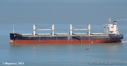
Vessel PORT MACAU IMO: 9423475, MMSI: 538008252 Bulk Carrier
UTC, -20.12040, 57.47825, course: 50, speed: 0.2
UTC, -20.11785, 57.48107, course: 252, speed: 0.2
2026-02-23 11:56:35 UTC, -19.81315, 57.42240, course: 2, speed: 12
Live AIS position:
UTC. 13 nm NW of Pointe aux Canonniers),
updated 2026-02-23 11:56:35 UTC.
Find the position of the vessel PORT MACAU on the map. The latter are known coordinates and path.
marine traffic ship tracker show on live map
The current position of vessel PORT MACAU is -19.81315 lat / 57.42240 lng. Updated: 2026-02-23 11:56:35 UTCCurrently sailing under the flag of Marshall Islands
PORT MACAU built in 2008 year
Deadweight:
58730 tDetails:
Last coordinates of the vessel:
UTC, -20.11985, 57.47733, course: 76, speed: 0UTC, -20.12040, 57.47825, course: 50, speed: 0.2
UTC, -20.11785, 57.48107, course: 252, speed: 0.2
2026-02-23 11:56:35 UTC, -19.81315, 57.42240, course: 2, speed: 12