 vesseltracker.com
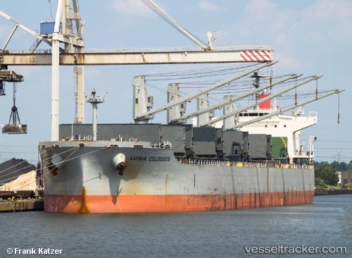
Vessel New Horizon IMO: 9420318, MMSI: 538008295 Bulk Carrier
UTC, 21.32311, 90.09716, course: -1, speed: 0.2
UTC, 21.32333, 90.09667, course: -1, speed: 0
2026-03-01 02:04:35 UTC, 21.32333, 90.09833, course: -1, speed: 0
Live AIS position:
UTC. 38 nm S of Payra Port),
updated 2026-03-01 02:04:35 UTC.
Find the position of the vessel New Horizon on the map. The latter are known coordinates and path.
marine traffic ship tracker show on live map
The current position of vessel New Horizon is 21.32333 lat / 90.09833 lng. Updated: 2026-03-01 02:04:35 UTCDetails:
Last coordinates of the vessel:
UTC, 21.32018, 90.09758, course: 27, speed: 0.2UTC, 21.32311, 90.09716, course: -1, speed: 0.2
UTC, 21.32333, 90.09667, course: -1, speed: 0
2026-03-01 02:04:35 UTC, 21.32333, 90.09833, course: -1, speed: 0