 vesseltracker.com
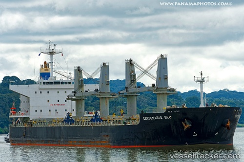
Vessel NEW GALAXY IMO: 9478884, MMSI: 538008733 Bulk Carrier
Live AIS position:
UTC. 64 nm N of Jam Shoro),
updated 2025-12-26 19:21:38 UTC.
Find the position of the vessel NEW GALAXY on the map. The latter are known coordinates and path.
marine traffic ship tracker show on live map
The current position of vessel NEW GALAXY is 26.49734 lat / 68.24015 lng. Updated: 2025-12-26 19:21:38 UTCCurrently sailing under the flag of Marshall Islands
NEW GALAXY built in 2011 year
Deadweight:
55594 tDetails:
Last coordinates of the vessel:
2025-12-26 19:21:38 UTC, 26.49734, 68.24015, course: 258, speed: 13.4