 vesseltracker.com
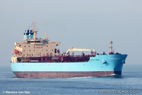
Vessel '538009222' IMO: 9718090, MMSI: 538009222
UTC, 33.71279, -118.24687, course: 66, speed: 8.9
UTC, 33.73040, -118.22059, course: 322, speed: 0.1
2026-01-31 09:39:58 UTC, 33.73015, -118.22095, course: 340, speed: 0
Live AIS position:
UTC. Near Long Beach),
updated 2026-01-31 09:39:58 UTC.
Find the position of the vessel '538009222' on the map. The latter are known coordinates and path.
marine traffic ship tracker show on live map
The current position of vessel '538009222' is 33.73015 lat / -118.22095 lng. Updated: 2026-01-31 09:39:58 UTCDetails:
Last coordinates of the vessel:
UTC, 33.75605, -118.26807, course: 175, speed: 0UTC, 33.71279, -118.24687, course: 66, speed: 8.9
UTC, 33.73040, -118.22059, course: 322, speed: 0.1
2026-01-31 09:39:58 UTC, 33.73015, -118.22095, course: 340, speed: 0