 vesseltracker.com
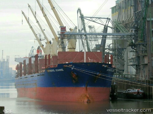
Vessel BLUE ALEXANDRA IMO: 9300219, MMSI: 538009419 Bulk Carrier
UTC, 34.62857, 121.85233, course: -1, speed: 12.6
UTC, 34.62857, 121.85233, course: -1, speed: 12.6
2026-03-01 16:19:58 UTC, 34.62857, 121.85233, course: -1, speed: 12.6
Live AIS position:
UTC. 94 nm NE of Sanya Pt),
updated 2026-03-01 16:19:58 UTC.
Find the position of the vessel BLUE ALEXANDRA on the map. The latter are known coordinates and path.
marine traffic ship tracker show on live map
The current position of vessel BLUE ALEXANDRA is 34.62857 lat / 121.85233 lng. Updated: 2026-03-01 16:19:58 UTCCurrently sailing under the flag of Marshall Islands
BLUE ALEXANDRA built in 2005 year
Deadweight:
32545 tDetails:
Last coordinates of the vessel:
UTC, 34.62245, 121.86632, course: -1, speed: 12.6UTC, 34.62857, 121.85233, course: -1, speed: 12.6
UTC, 34.62857, 121.85233, course: -1, speed: 12.6
2026-03-01 16:19:58 UTC, 34.62857, 121.85233, course: -1, speed: 12.6