 vesseltracker.com
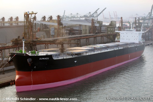
Vessel 538009432 IMO: 9597331, MMSI: 538009432
UTC, 49.36678, -139.49052, course: 104, speed: 12.2
UTC, 49.24351, -138.93938, course: 101, speed: 12.5
2026-02-15 21:50:38 UTC, 49.15224, -138.50179, course: 94, speed: 11.9
Live AIS position:
UTC. 263 nm NW of Primorsky Krai),
updated 2026-02-15 21:50:38 UTC.
Find the position of the vessel 538009432 on the map. The latter are known coordinates and path.
marine traffic ship tracker show on live map
The current position of vessel 538009432 is 49.15224 lat / -138.50179 lng. Updated: 2026-02-15 21:50:38 UTCDetails:
Last coordinates of the vessel:
UTC, 49.50776, -140.16463, course: 101, speed: 12.6UTC, 49.36678, -139.49052, course: 104, speed: 12.2
UTC, 49.24351, -138.93938, course: 101, speed: 12.5
2026-02-15 21:50:38 UTC, 49.15224, -138.50179, course: 94, speed: 11.9