 vesseltracker.com
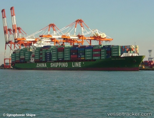
Vessel EMMANUEL P IMO: 9290127, MMSI: 538010029 Container Ship
UTC, 2.69008, 105.04492, course: 7, speed: 18.4
UTC, 3.12769, 105.12306, course: 9, speed: 18.7
2026-01-29 02:22:56 UTC, 3.89667, 105.59667, course: -1, speed: 18
Live AIS position:
UTC. 31 nm SE of Belida Terminal),
updated 2026-01-29 02:22:56 UTC.
Find the position of the vessel EMMANUEL P on the map. The latter are known coordinates and path.
marine traffic ship tracker show on live map
The current position of vessel EMMANUEL P is 3.89667 lat / 105.59667 lng. Updated: 2026-01-29 02:22:56 UTCCurrently sailing under the flag of Marshall Islands
EMMANUEL P built in 2005 year
Deadweight:
50796 tDetails:
Last coordinates of the vessel:
UTC, 2.16667, 104.96333, course: -1, speed: 17UTC, 2.69008, 105.04492, course: 7, speed: 18.4
UTC, 3.12769, 105.12306, course: 9, speed: 18.7
2026-01-29 02:22:56 UTC, 3.89667, 105.59667, course: -1, speed: 18