 vesseltracker.com
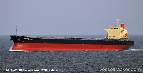
Vessel BLUE IONIAN IMO: 9381184, MMSI: 538010076 Bulk Carrier
UTC, -23.97253, -46.28835, course: 157, speed: 0
UTC, -23.97255, -46.28840, course: 157, speed: 0
2026-01-26 09:30:21 UTC, -23.97240, -46.28842, course: 158, speed: 0
Live AIS position:
UTC. Near Guarujá),
updated 2026-01-26 09:30:21 UTC.
Find the position of the vessel BLUE IONIAN on the map. The latter are known coordinates and path.
marine traffic ship tracker show on live map
The current position of vessel BLUE IONIAN is -23.97240 lat / -46.28842 lng. Updated: 2026-01-26 09:30:21 UTCCurrently sailing under the flag of Marshall Islands
BLUE IONIAN built in 2007 year
Deadweight:
76596 tDetails:
Last coordinates of the vessel:
UTC, -23.97253, -46.28843, course: 157, speed: 0UTC, -23.97253, -46.28835, course: 157, speed: 0
UTC, -23.97255, -46.28840, course: 157, speed: 0
2026-01-26 09:30:21 UTC, -23.97240, -46.28842, course: 158, speed: 0