 vesseltracker.com
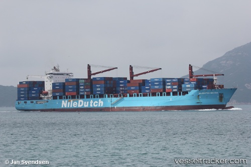
Vessel SAFEEN POWER IMO: 9539482, MMSI: 538010153 Container Ship
UTC, 28.01847, 50.38937, course: 328, speed: 10.5
UTC, 28.26470, 50.20996, course: 327, speed: 11.5
2026-02-03 16:08:22 UTC, 28.64742, 49.93919, course: 328, speed: 11
Live AIS position:
UTC. 34 nm SE of Soroosh (Cyrus) Terminal),
updated 2026-02-03 16:08:22 UTC.
Find the position of the vessel SAFEEN POWER on the map. The latter are known coordinates and path.
marine traffic ship tracker show on live map
The current position of vessel SAFEEN POWER is 28.64742 lat / 49.93919 lng. Updated: 2026-02-03 16:08:22 UTCCurrently sailing under the flag of Marshall Islands
SAFEEN POWER built in 2011 year
Deadweight:
46131 tDetails:
Last coordinates of the vessel:
UTC, 27.67191, 50.56563, course: 340, speed: 10.3UTC, 28.01847, 50.38937, course: 328, speed: 10.5
UTC, 28.26470, 50.20996, course: 327, speed: 11.5
2026-02-03 16:08:22 UTC, 28.64742, 49.93919, course: 328, speed: 11