 vesseltracker.com
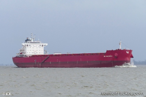
Vessel ANDONIS IMO: 9763916, MMSI: 538010271 Bulk Carrier
UTC, 28.97833, -14.41667, course: -1, speed: 10
UTC, 29.29333, -14.07333, course: -1, speed: 10
2026-02-04 11:27:49 UTC, 29.50500, -13.84666, course: -1, speed: 10
Live AIS position:
UTC. 24 nm NW of Caleta de Sebo),
updated 2026-02-04 11:27:49 UTC.
Find the position of the vessel ANDONIS on the map. The latter are known coordinates and path.
marine traffic ship tracker show on live map
The current position of vessel ANDONIS is 29.50500 lat / -13.84666 lng. Updated: 2026-02-04 11:27:49 UTCCurrently sailing under the flag of Marshall Islands
ANDONIS built in 2017 year
Deadweight:
81232 tDetails:
Last coordinates of the vessel:
UTC, 28.88333, -14.51833, course: -1, speed: 10UTC, 28.97833, -14.41667, course: -1, speed: 10
UTC, 29.29333, -14.07333, course: -1, speed: 10
2026-02-04 11:27:49 UTC, 29.50500, -13.84666, course: -1, speed: 10