 vesseltracker.com
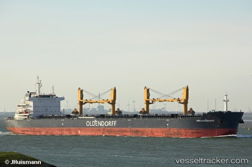
Vessel CLIPPER IRIS IMO: 9720964, MMSI: 538010389 Cargo
UTC, 9.27109, -13.80514, course: 287, speed: 0.1
UTC, 9.26998, -13.80614, course: 327, speed: 0
2026-02-27 22:18:08 UTC, 9.27201, -13.80481, course: 252, speed: 0
Live AIS position:
UTC. 15 nm S of Conakry),
updated 2026-02-27 22:18:08 UTC.
Find the position of the vessel CLIPPER IRIS on the map. The latter are known coordinates and path.
marine traffic ship tracker show on live map
The current position of vessel CLIPPER IRIS is 9.27201 lat / -13.80481 lng. Updated: 2026-02-27 22:18:08 UTCCurrently sailing under the flag of Marshall Islands
Details:
Last coordinates of the vessel:
UTC, 9.27211, -13.80502, course: 248, speed: 0.1UTC, 9.27109, -13.80514, course: 287, speed: 0.1
UTC, 9.26998, -13.80614, course: 327, speed: 0
2026-02-27 22:18:08 UTC, 9.27201, -13.80481, course: 252, speed: 0