 vesseltracker.com
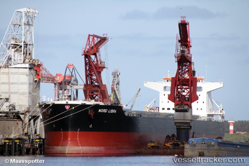
Vessel VELOS LIBRA IMO: 9710799, MMSI: 538010533 Cargo
UTC, 39.74333, -12.30833, course: -1, speed: 9
UTC, 39.90500, -12.18333, course: -1, speed: 9
2026-02-28 16:23:50 UTC, 40.33667, -11.96667, course: -1, speed: 9
Live AIS position:
UTC. 59 nm NW of Utiel),
updated 2026-02-28 16:23:50 UTC.
Find the position of the vessel VELOS LIBRA on the map. The latter are known coordinates and path.
marine traffic ship tracker show on live map
The current position of vessel VELOS LIBRA is 40.33667 lat / -11.96667 lng. Updated: 2026-02-28 16:23:50 UTCCurrently sailing under the flag of Marshall Islands
Details:
Last coordinates of the vessel:
UTC, 39.40167, -12.55667, course: -1, speed: 9UTC, 39.74333, -12.30833, course: -1, speed: 9
UTC, 39.90500, -12.18333, course: -1, speed: 9
2026-02-28 16:23:50 UTC, 40.33667, -11.96667, course: -1, speed: 9