 vesseltracker.com
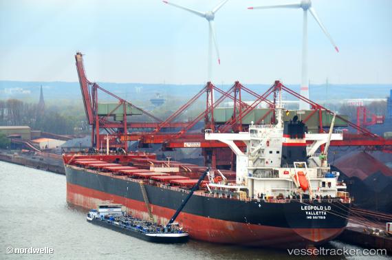
Vessel TOMINI K2 IMO: 9617519, MMSI: 538010582 Cargo
UTC, 35.11333, -42.07833, course: -1, speed: 10
UTC, 34.68667, -41.43667, course: -1, speed: 10
2026-02-26 12:06:42 UTC, 34.48500, -41.13667, course: -1, speed: 11
Live AIS position:
UTC. 116 nm NE of Girard),
updated 2026-02-26 12:06:42 UTC.
Find the position of the vessel TOMINI K2 on the map. The latter are known coordinates and path.
marine traffic ship tracker show on live map
The current position of vessel TOMINI K2 is 34.48500 lat / -41.13667 lng. Updated: 2026-02-26 12:06:42 UTCCurrently sailing under the flag of Marshall Islands
Details:
Last coordinates of the vessel:
UTC, 35.16167, -42.15333, course: -1, speed: 10UTC, 35.11333, -42.07833, course: -1, speed: 10
UTC, 34.68667, -41.43667, course: -1, speed: 10
2026-02-26 12:06:42 UTC, 34.48500, -41.13667, course: -1, speed: 11