 vesseltracker.com
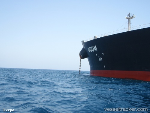
Vessel JAYA IMO: 9410387, MMSI: 538010982 Crude Oil Tanker
UTC, 26.46434, 56.68976, course: 346, speed: 11.1
UTC, 26.46434, 56.68976, course: 346, speed: 11.1
2026-02-23 06:36:28 UTC, 26.46434, 56.68976, course: 346, speed: 11.1
Live AIS position:
UTC. 12 nm SE of Quoin Island),
updated 2026-02-23 06:36:28 UTC.
Find the position of the vessel JAYA on the map. The latter are known coordinates and path.
marine traffic ship tracker show on live map
The current position of vessel JAYA is 26.46434 lat / 56.68976 lng. Updated: 2026-02-23 06:36:28 UTCCurrently sailing under the flag of Marshall Islands
Details:
Last coordinates of the vessel:
UTC, 26.26677, 56.74670, course: 346, speed: 10.7UTC, 26.46434, 56.68976, course: 346, speed: 11.1
UTC, 26.46434, 56.68976, course: 346, speed: 11.1
2026-02-23 06:36:28 UTC, 26.46434, 56.68976, course: 346, speed: 11.1