 vesseltracker.com
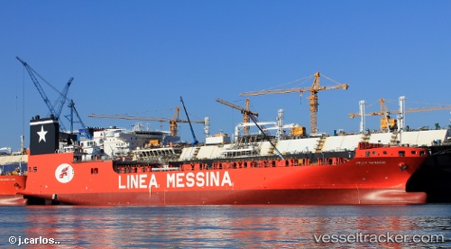
Vessel AL SAMHA IMO: 9668972, MMSI: 538011084 Cargo
UTC, 36.86802, -76.31850, course: -1, speed: 0
UTC, 36.86833, -76.31833, course: -1, speed: 0
2026-02-22 19:45:43 UTC, 36.86833, -76.31833, course: -1, speed: 0
Live AIS position:
UTC. Near Norfolk),
updated 2026-02-22 19:45:43 UTC.
Find the position of the vessel AL SAMHA on the map. The latter are known coordinates and path.
marine traffic ship tracker show on live map
The current position of vessel AL SAMHA is 36.86833 lat / -76.31833 lng. Updated: 2026-02-22 19:45:43 UTCCurrently sailing under the flag of Marshall Islands
Details:
Last coordinates of the vessel:
UTC, 36.86833, -76.31833, course: -1, speed: 0UTC, 36.86802, -76.31850, course: -1, speed: 0
UTC, 36.86833, -76.31833, course: -1, speed: 0
2026-02-22 19:45:43 UTC, 36.86833, -76.31833, course: -1, speed: 0