 vesseltracker.com
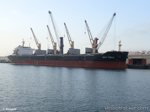
Vessel TULIP IMO: 9583835, MMSI: 538011143 Cargo
UTC, -33.60044, 30.12050, course: 46, speed: 9.6
UTC, -33.31833, 30.40667, course: -1, speed: 9
2026-02-25 16:08:35 UTC, -33.11265, 30.61395, course: 44, speed: 9.8
Live AIS position:
UTC. 104 nm SE of Port Saint John's),
updated 2026-02-25 16:08:35 UTC.
Find the position of the vessel TULIP on the map. The latter are known coordinates and path.
marine traffic ship tracker show on live map
The current position of vessel TULIP is -33.11265 lat / 30.61395 lng. Updated: 2026-02-25 16:08:35 UTCCurrently sailing under the flag of Marshall Islands
Details:
Last coordinates of the vessel:
UTC, -33.90904, 29.72351, course: 48, speed: 9.8UTC, -33.60044, 30.12050, course: 46, speed: 9.6
UTC, -33.31833, 30.40667, course: -1, speed: 9
2026-02-25 16:08:35 UTC, -33.11265, 30.61395, course: 44, speed: 9.8