 vesseltracker.com
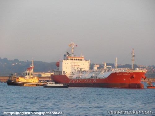
Vessel GAS NOBLE IMO: 9697492, MMSI: 538011272 Tanker
UTC, 54.59284, 19.10483, course: 21, speed: 13.7
UTC, 54.92113, 18.65461, course: 306, speed: 12.9
2026-02-24 17:25:30 UTC, 54.97986, 18.20758, course: 266, speed: 13
Live AIS position:
UTC. 12 nm N of Krokowa),
updated 2026-02-24 17:25:30 UTC.
Find the position of the vessel GAS NOBLE on the map. The latter are known coordinates and path.
marine traffic ship tracker show on live map
The current position of vessel GAS NOBLE is 54.97986 lat / 18.20758 lng. Updated: 2026-02-24 17:25:30 UTCCurrently sailing under the flag of Marshall Islands
Details:
Last coordinates of the vessel:
UTC, 54.39637, 18.70713, course: 251, speed: 0UTC, 54.59284, 19.10483, course: 21, speed: 13.7
UTC, 54.92113, 18.65461, course: 306, speed: 12.9
2026-02-24 17:25:30 UTC, 54.97986, 18.20758, course: 266, speed: 13