 vesseltracker.com
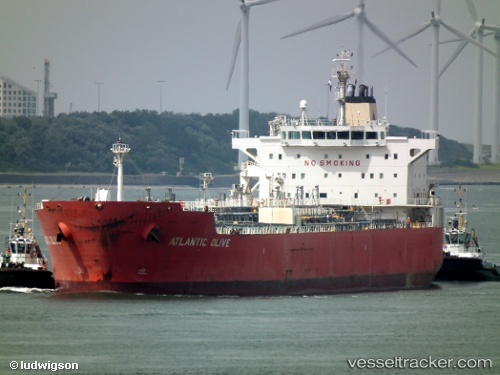
Vessel ATLANTIS ALEXANDRIA IMO: 9354909, MMSI: 538011335 Oil/Chemical Tanker
UTC, 36.12956, -5.37033, course: 353, speed: 0.1
UTC, 36.12962, -5.36906, course: 313, speed: 0.1
2026-02-27 04:19:27 UTC, 36.13099, -5.36847, course: 273, speed: 0.2
Live AIS position:
UTC. Near Waterport),
updated 2026-02-27 04:19:27 UTC.
Find the position of the vessel ATLANTIS ALEXANDRIA on the map. The latter are known coordinates and path.
marine traffic ship tracker show on live map
The current position of vessel ATLANTIS ALEXANDRIA is 36.13099 lat / -5.36847 lng. Updated: 2026-02-27 04:19:27 UTCCurrently sailing under the flag of Marshall Islands
Details:
Last coordinates of the vessel:
UTC, 36.07650, -5.28031, course: 261, speed: 7.3UTC, 36.12956, -5.37033, course: 353, speed: 0.1
UTC, 36.12962, -5.36906, course: 313, speed: 0.1
2026-02-27 04:19:27 UTC, 36.13099, -5.36847, course: 273, speed: 0.2