 vesseltracker.com
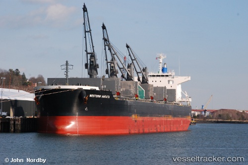
Vessel VIRGO IMO: 9650925, MMSI: 538011344 Bulk Carrier
UTC, 35.76879, -127.02397, course: 148, speed: 10
UTC, 35.52566, -126.83411, course: 148, speed: 10.2
2026-02-27 12:01:47 UTC, 35.18804, -126.56254, course: 148, speed: 10.4
Live AIS position:
UTC. 235 nm W of Fort Hunter Liggett),
updated 2026-02-27 12:01:47 UTC.
Find the position of the vessel VIRGO on the map. The latter are known coordinates and path.
marine traffic ship tracker show on live map
The current position of vessel VIRGO is 35.18804 lat / -126.56254 lng. Updated: 2026-02-27 12:01:47 UTCCurrently sailing under the flag of Marshall Islands
Details:
Last coordinates of the vessel:
UTC, 36.12548, -127.26366, course: 150, speed: 9.9UTC, 35.76879, -127.02397, course: 148, speed: 10
UTC, 35.52566, -126.83411, course: 148, speed: 10.2
2026-02-27 12:01:47 UTC, 35.18804, -126.56254, course: 148, speed: 10.4