 vesseltracker.com
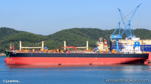
Vessel LOULOULIGHT IMO: 9594901, MMSI: 538011353 Oil Products Tanker
UTC, 23.59333, 36.94500, course: -1, speed: 11
UTC, 23.96167, 36.68333, course: -1, speed: 11
2026-02-25 16:07:29 UTC, 24.22833, 36.48667, course: -1, speed: 11
Live AIS position:
UTC. 64 nm SW of Umm Lajj),
updated 2026-02-25 16:07:29 UTC.
Find the position of the vessel LOULOULIGHT on the map. The latter are known coordinates and path.
marine traffic ship tracker show on live map
The current position of vessel LOULOULIGHT is 24.22833 lat / 36.48667 lng. Updated: 2026-02-25 16:07:29 UTCCurrently sailing under the flag of Marshall Islands
Details:
Last coordinates of the vessel:
UTC, 23.13667, 37.28333, course: -1, speed: 11UTC, 23.59333, 36.94500, course: -1, speed: 11
UTC, 23.96167, 36.68333, course: -1, speed: 11
2026-02-25 16:07:29 UTC, 24.22833, 36.48667, course: -1, speed: 11