 vesseltracker.com
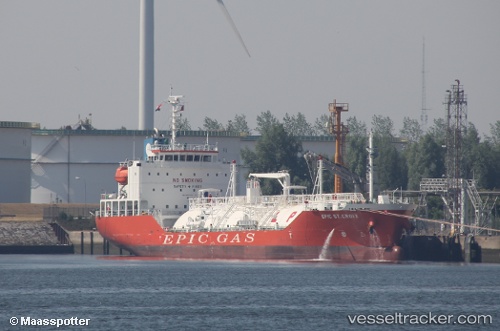
Vessel GAS PEACE IMO: 9697507, MMSI: 538011362 Lpg Tanker
UTC, 39.72167, -9.84666, course: -1, speed: 13
UTC, 39.42484, -9.97920, course: 199, speed: 13.8
2026-03-10 21:27:34 UTC, 38.98471, -10.17650, course: 201, speed: 14
Live Vessel GAS PEACE Analytics (details, animations, etc.)
Live AIS position: UTC. 35 nm W of Azenhas do Mar), updated 2026-03-10 21:27:34 UTC.Find the position of the vessel GAS PEACE on the map. The latter are known coordinates and path.
marine traffic ship tracker show on live map
The current position of vessel GAS PEACE is 38.98471 lat / -10.17650 lng. Updated: 2026-03-10 21:27:34 UTCCurrently sailing under the flag of Marshall Islands
Details:
Last coordinates of the vessel:
UTC, 40.12472, -9.67149, course: 204, speed: 13.8UTC, 39.72167, -9.84666, course: -1, speed: 13
UTC, 39.42484, -9.97920, course: 199, speed: 13.8
2026-03-10 21:27:34 UTC, 38.98471, -10.17650, course: 201, speed: 14