 vesseltracker.com
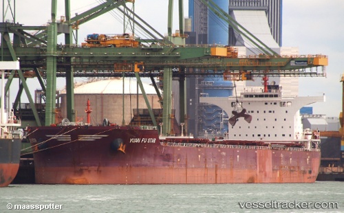
Vessel LONG MEI IMO: 9493585, MMSI: 538011463 Bulk Carrier
UTC, 12.13220, 44.33868, course: 111, speed: 11.3
UTC, 11.93509, 44.81182, course: 121, speed: 10.8
2026-03-01 15:34:08 UTC, 11.85432, 44.98053, course: 101, speed: 11
Live AIS position:
UTC. 27 nm NE of Doraleh Container Terminal),
updated 2026-03-01 15:34:08 UTC.
Find the position of the vessel LONG MEI on the map. The latter are known coordinates and path.
marine traffic ship tracker show on live map
The current position of vessel LONG MEI is 11.85432 lat / 44.98053 lng. Updated: 2026-03-01 15:34:08 UTCCurrently sailing under the flag of Marshall Islands
Details:
Last coordinates of the vessel:
UTC, 12.24771, 44.06845, course: 114, speed: 11.5UTC, 12.13220, 44.33868, course: 111, speed: 11.3
UTC, 11.93509, 44.81182, course: 121, speed: 10.8
2026-03-01 15:34:08 UTC, 11.85432, 44.98053, course: 101, speed: 11