 vesseltracker.com
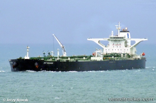
Vessel DHT REDWOOD IMO: 9528940, MMSI: 538011698 Crude Oil Tanker
UTC, -32.54117, 36.91162, course: 53, speed: 12.2
UTC, -32.40719, 37.25923, course: 62, speed: 12.8
2026-02-28 07:29:21 UTC, -32.25820, 37.66069, course: 71, speed: 12.8
Live AIS position:
UTC. 352 nm SE of Richards Bay),
updated 2026-02-28 07:29:21 UTC.
Find the position of the vessel DHT REDWOOD on the map. The latter are known coordinates and path.
marine traffic ship tracker show on live map
The current position of vessel DHT REDWOOD is -32.25820 lat / 37.66069 lng. Updated: 2026-02-28 07:29:21 UTCCurrently sailing under the flag of Marshall Islands
Details:
Last coordinates of the vessel:
UTC, -32.74949, 36.34413, course: 67, speed: 12.2UTC, -32.54117, 36.91162, course: 53, speed: 12.2
UTC, -32.40719, 37.25923, course: 62, speed: 12.8
2026-02-28 07:29:21 UTC, -32.25820, 37.66069, course: 71, speed: 12.8