 vesseltracker.com
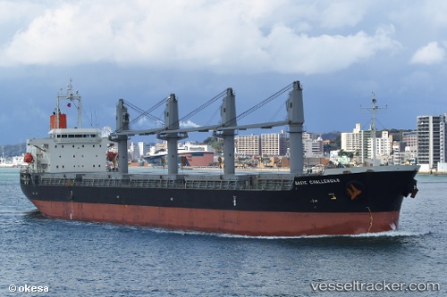
Vessel CETUS SEI IMO: 9526722, MMSI: 538011758 Cargo
UTC, 27.85709, -82.39244, course: 31, speed: 0
UTC, 27.85709, -82.39244, course: 31, speed: 0.1
2026-02-25 17:58:54 UTC, 27.85711, -82.39242, course: 31, speed: 0
Live AIS position:
UTC. Near Clair Mel City),
updated 2026-02-25 17:58:54 UTC.
Find the position of the vessel CETUS SEI on the map. The latter are known coordinates and path.
marine traffic ship tracker show on live map
The current position of vessel CETUS SEI is 27.85711 lat / -82.39242 lng. Updated: 2026-02-25 17:58:54 UTCCurrently sailing under the flag of Marshall Islands
Details:
Last coordinates of the vessel:
UTC, 27.85715, -82.39240, course: 31, speed: 0UTC, 27.85709, -82.39244, course: 31, speed: 0
UTC, 27.85709, -82.39244, course: 31, speed: 0.1
2026-02-25 17:58:54 UTC, 27.85711, -82.39242, course: 31, speed: 0