 vesseltracker.com
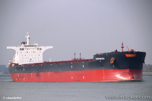
Vessel HERMINA IMO: 9613070, MMSI: 538011761 Bulk Carrier
UTC, 10.28873, -14.80063, course: 206, speed: 0
UTC, 10.28682, -14.79915, course: 247, speed: 0.4
2026-03-01 21:38:35 UTC, 10.28382, -14.80245, course: 23, speed: 0
Live AIS position:
UTC. 15 nm S of Port de Boké),
updated 2026-03-01 21:38:35 UTC.
Find the position of the vessel HERMINA on the map. The latter are known coordinates and path.
marine traffic ship tracker show on live map
The current position of vessel HERMINA is 10.28382 lat / -14.80245 lng. Updated: 2026-03-01 21:38:35 UTCCurrently sailing under the flag of Marshall Islands
Details:
Last coordinates of the vessel:
UTC, 10.28873, -14.80078, course: 197, speed: 0UTC, 10.28873, -14.80063, course: 206, speed: 0
UTC, 10.28682, -14.79915, course: 247, speed: 0.4
2026-03-01 21:38:35 UTC, 10.28382, -14.80245, course: 23, speed: 0