 vesseltracker.com
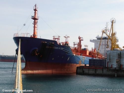
Vessel GULF PETROLEUM 4 IMO: 9439345, MMSI: 538011785 Oil/Chemical Tanker
UTC, 36.50333, 23.53500, course: -1, speed: 10
UTC, 36.13333, 23.25167, course: -1, speed: 10
2026-02-25 13:01:42 UTC, 36.04333, 23.04167, course: -1, speed: 10
Live AIS position:
UTC. Near Kapsalion (Kythira)),
updated 2026-02-25 13:01:42 UTC.
Find the position of the vessel GULF PETROLEUM 4 on the map. The latter are known coordinates and path.
marine traffic ship tracker show on live map
The current position of vessel GULF PETROLEUM 4 is 36.04333 lat / 23.04167 lng. Updated: 2026-02-25 13:01:42 UTCCurrently sailing under the flag of Marshall Islands
Details:
Last coordinates of the vessel:
UTC, 36.65217, 23.65160, course: -1, speed: 10.6UTC, 36.50333, 23.53500, course: -1, speed: 10
UTC, 36.13333, 23.25167, course: -1, speed: 10
2026-02-25 13:01:42 UTC, 36.04333, 23.04167, course: -1, speed: 10