 vesseltracker.com
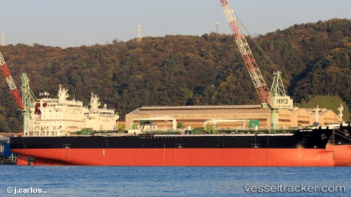
Vessel FRANK LIGHT IMO: 9724726, MMSI: 538011846 Tanker
UTC, 48.25942, -6.33477, course: 208, speed: 9.6
UTC, 47.93499, -6.59185, course: 209, speed: 9.1
2026-02-27 23:35:18 UTC, 47.75360, -6.73840, course: 210, speed: 9.7
Live AIS position:
UTC. 48 nm SE of San Clodio),
updated 2026-02-27 23:35:18 UTC.
Find the position of the vessel FRANK LIGHT on the map. The latter are known coordinates and path.
marine traffic ship tracker show on live map
The current position of vessel FRANK LIGHT is 47.75360 lat / -6.73840 lng. Updated: 2026-02-27 23:35:18 UTCCurrently sailing under the flag of Marshall Islands
Details:
Last coordinates of the vessel:
UTC, 48.51646, -6.11995, course: 211, speed: 10.4UTC, 48.25942, -6.33477, course: 208, speed: 9.6
UTC, 47.93499, -6.59185, course: 209, speed: 9.1
2026-02-27 23:35:18 UTC, 47.75360, -6.73840, course: 210, speed: 9.7