 vesseltracker.com
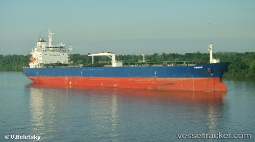
Vessel EDOR IMO: 9259317, MMSI: 538011855 Oil Products Tanker
UTC, 25.38375, 56.48592, course: -1, speed: 0
UTC, 25.38421, 56.48415, course: 187, speed: 0
2026-02-28 01:59:04 UTC, 25.38423, 56.48408, course: -1, speed: 0
Live AIS position:
UTC. Near KHORFAKKAN),
updated 2026-02-28 01:59:04 UTC.
Find the position of the vessel EDOR on the map. The latter are known coordinates and path.
marine traffic ship tracker show on live map
The current position of vessel EDOR is 25.38423 lat / 56.48408 lng. Updated: 2026-02-28 01:59:04 UTCCurrently sailing under the flag of Marshall Islands
Details:
Last coordinates of the vessel:
UTC, 25.38314, 56.48631, course: 247, speed: 0UTC, 25.38375, 56.48592, course: -1, speed: 0
UTC, 25.38421, 56.48415, course: 187, speed: 0
2026-02-28 01:59:04 UTC, 25.38423, 56.48408, course: -1, speed: 0