 vesseltracker.com
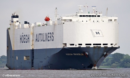
Vessel VIKING BRASILIA IMO: 9368895, MMSI: 538011930 Vehicles Carrier
UTC, 14.81667, -80.83833, course: -1, speed: 17
UTC, 15.38500, -81.03833, course: -1, speed: 16
2026-02-23 23:15:24 UTC, 15.83167, -81.20833, course: -1, speed: 15
Live AIS position:
UTC. 166 nm NE of Puerto Cabezas),
updated 2026-02-23 23:15:24 UTC.
Find the position of the vessel VIKING BRASILIA on the map. The latter are known coordinates and path.
marine traffic ship tracker show on live map
The current position of vessel VIKING BRASILIA is 15.83167 lat / -81.20833 lng. Updated: 2026-02-23 23:15:24 UTCCurrently sailing under the flag of Marshall Islands
Details:
Last coordinates of the vessel:
UTC, 14.39333, -80.71500, course: -1, speed: 16UTC, 14.81667, -80.83833, course: -1, speed: 17
UTC, 15.38500, -81.03833, course: -1, speed: 16
2026-02-23 23:15:24 UTC, 15.83167, -81.20833, course: -1, speed: 15