 vesseltracker.com
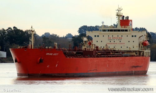
Vessel EUNICE IMO: 9425265, MMSI: 538011936 Oil/Chemical Tanker
UTC, 25.73333, 56.98333, course: -1, speed: 0
UTC, 25.73383, 56.98276, course: -1, speed: 0.2
2026-02-26 07:24:23 UTC, 25.73334, 56.98006, course: -1, speed: 0.3
Live AIS position:
UTC. 34 nm NE of Offshore Fujairah),
updated 2026-02-26 07:24:23 UTC.
Find the position of the vessel EUNICE on the map. The latter are known coordinates and path.
marine traffic ship tracker show on live map
The current position of vessel EUNICE is 25.73334 lat / 56.98006 lng. Updated: 2026-02-26 07:24:23 UTCCurrently sailing under the flag of Marshall Islands
Details:
Last coordinates of the vessel:
UTC, 25.73333, 56.98167, course: -1, speed: 0UTC, 25.73333, 56.98333, course: -1, speed: 0
UTC, 25.73383, 56.98276, course: -1, speed: 0.2
2026-02-26 07:24:23 UTC, 25.73334, 56.98006, course: -1, speed: 0.3