 vesseltracker.com
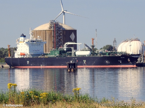
Vessel SYMI IMO: 9406269, MMSI: 538011955 Lpg Tanker
UTC, 27.09174, 50.28536, course: 0, speed: 0.2
UTC, 27.09189, 50.28590, course: 335, speed: 0.4
2026-02-26 11:23:45 UTC, 27.09194, 50.28589, course: 328, speed: 0.5
Live AIS position:
UTC. 27 nm N of Ras Tannurah),
updated 2026-02-26 11:23:45 UTC.
Find the position of the vessel SYMI on the map. The latter are known coordinates and path.
marine traffic ship tracker show on live map
The current position of vessel SYMI is 27.09194 lat / 50.28589 lng. Updated: 2026-02-26 11:23:45 UTCCurrently sailing under the flag of Marshall Islands
Details:
Last coordinates of the vessel:
UTC, 27.09181, 50.28565, course: 341, speed: 0.5UTC, 27.09174, 50.28536, course: 0, speed: 0.2
UTC, 27.09189, 50.28590, course: 335, speed: 0.4
2026-02-26 11:23:45 UTC, 27.09194, 50.28589, course: 328, speed: 0.5