 vesseltracker.com
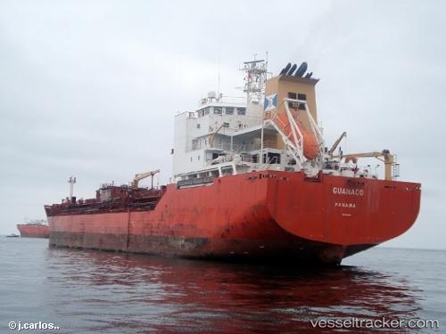
Vessel SYNERGY STAR IMO: 9256834, MMSI: 538011995 Oil/Chemical Tanker
UTC, 26.75833, 34.61833, course: -1, speed: 13
UTC, 26.75833, 34.61833, course: -1, speed: 13
2026-03-05 08:15:06 UTC, 26.40667, 34.86500, course: -1, speed: 13
Live Vessel SYNERGY STAR Analytics (details, animations, etc.)
Live AIS position: UTC. 36 nm NE of Al Qusayr), updated 2026-03-05 08:15:06 UTC.Find the position of the vessel SYNERGY STAR on the map. The latter are known coordinates and path.
marine traffic ship tracker show on live map
The current position of vessel SYNERGY STAR is 26.40667 lat / 34.86500 lng. Updated: 2026-03-05 08:15:06 UTCCurrently sailing under the flag of Marshall Islands
Details:
Last coordinates of the vessel:
UTC, 26.75833, 34.61833, course: -1, speed: 13UTC, 26.75833, 34.61833, course: -1, speed: 13
UTC, 26.75833, 34.61833, course: -1, speed: 13
2026-03-05 08:15:06 UTC, 26.40667, 34.86500, course: -1, speed: 13