 vesseltracker.com
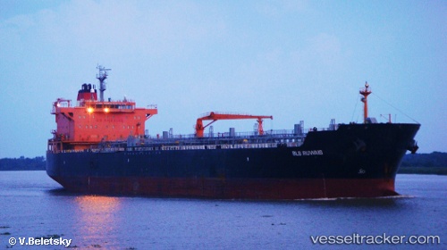
Vessel MARIA FAITH IMO: 9374296, MMSI: 538012084 Oil/Chemical Tanker
UTC, 22.57806, 69.83331, course: 55, speed: 0.1
UTC, 22.57928, 69.83719, course: 261, speed: 0
2026-02-25 23:37:25 UTC, 22.57935, 69.83718, course: 259, speed: 0
Live AIS position:
UTC. Near SIKKA),
updated 2026-02-25 23:37:25 UTC.
Find the position of the vessel MARIA FAITH on the map. The latter are known coordinates and path.
marine traffic ship tracker show on live map
The current position of vessel MARIA FAITH is 22.57935 lat / 69.83718 lng. Updated: 2026-02-25 23:37:25 UTCCurrently sailing under the flag of Marshall Islands
Details:
Last coordinates of the vessel:
UTC, 22.57836, 69.83318, course: 67, speed: 0.1UTC, 22.57806, 69.83331, course: 55, speed: 0.1
UTC, 22.57928, 69.83719, course: 261, speed: 0
2026-02-25 23:37:25 UTC, 22.57935, 69.83718, course: 259, speed: 0