 vesseltracker.com
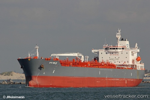
Vessel ANTALYA IMO: 9747338, MMSI: 538012206 Tanker
UTC, 9.23167, -79.92758, course: 323, speed: 0
UTC, 9.23170, -79.92743, course: 318, speed: 0
2026-02-26 08:09:04 UTC, 9.23153, -79.92761, course: 327, speed: 0
Live AIS position:
UTC. Near Fuerte Davis),
updated 2026-02-26 08:09:04 UTC.
Find the position of the vessel ANTALYA on the map. The latter are known coordinates and path.
marine traffic ship tracker show on live map
The current position of vessel ANTALYA is 9.23153 lat / -79.92761 lng. Updated: 2026-02-26 08:09:04 UTCCurrently sailing under the flag of Marshall Islands
Details:
Last coordinates of the vessel:
UTC, 9.23174, -79.92733, course: 321, speed: 0.1UTC, 9.23167, -79.92758, course: 323, speed: 0
UTC, 9.23170, -79.92743, course: 318, speed: 0
2026-02-26 08:09:04 UTC, 9.23153, -79.92761, course: 327, speed: 0